The Exumas are calling! Hundreds of boaters will answer the call, loose their lines, and head east toward the azure waters of the Exumas. If you want to be one of those boats, but you’ve never been and you are nervous about the unknown, let me help you have a relaxed, fun, and interesting trip. Unfortunately, some arm-chair cruisers confuse challenge with danger and will have you believe that only the hardiest cruisers would dare cross over to the Bahamas. I assure you, there is nothing dangerous about heading east across the Gulf Stream and on to the Bahamas Banks. There are a few challenges, of course, but a prepared boater can easily graduate to Bahamas Cruiser with ease.
The entire Exumas chain runs 165 miles (north to south) from Ship Channel Cay all the way down to Georgetown. It would take hundreds of pages to cover the entire Exumas, so in this post, I’m going to focus on the northern Exumas from Highbourne Cay down to Compass Cay and I’ll focus on some of our favorite anchorages, which you could cover in a two week vacation very comfortably. Let’s Go!!
Getting There
It’s easier than you may have heard to get to the Exumas. Years ago, my wife Michelle and I pulled in to Marathon Key on our way to the Bahamas. While walking our dogs, we came across a group of cruisers having sundowners at the marina. We stopped and chatted for a few minutes and someone asked what our plans were. Our response was met with gasps and gafaws. You see, most of those “cruisers” had been stuck in Marathon for months (years?) waiting for the perfect weather window. Some of those guys probably never made it across the Gulf Stream. Since that first encounter with “wana cruisers”, we’ve come across pockets of people almost everywhere we have been that want to extend their cruising range, but fear and over-preparation keep them stuck and waiting for the “perfect” weather window. Don’t be one of those cruisers. Make sure your boat is safe and secure. Check that your safety equipment is up to date. Get the training you need to handle your boat in the likely conditions you’ll face. Make your cruise plan. Check the weather — and GO!
Most “wana cruisers” are deathly afraid of the Gulf Stream. I have crossed the Gulf Stream countless times, mostly in benign conditions, but on a few occasions, I’ve experienced the wrath of the Stream. For a comfortable ride, the key is to avoid the Gulf Stream if the wind is greater than 15 knots out of the NW to NE. Much more than that and you’re in for a sporty passage and if it’s blowing more than 30, you’ll pray for dry land! You can generally rely on the weather services to provide excellent forecasts, so check the weather carefully before you leave, but leave as soon as you are comfortable. Don’t wait for “Perfect” Weather – or you may miss your window to get across. If you aren’t comfortable predicting the weather on your own, there are excellent companies out there can provide custom forecasts for you at a very reasonable fee. I’ve used Chris Parker at Marine Weather Center for years on longer passages and been super happy with his forecasts. https://mwxc.com.
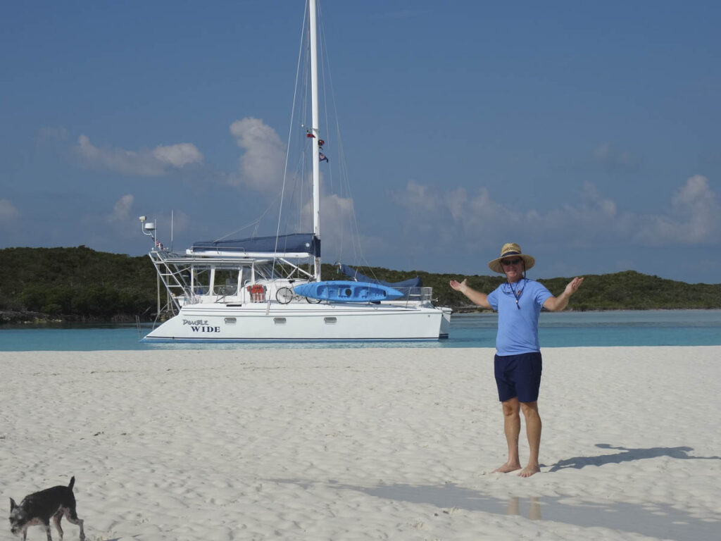
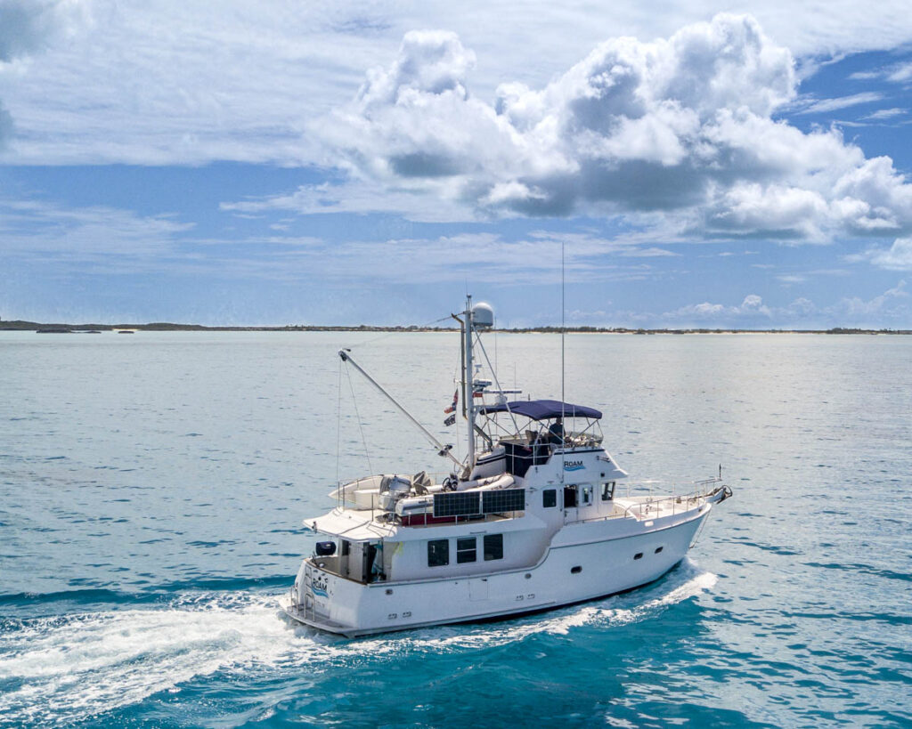
From Florida, there are multiple ways to get to the Exumas and where you cross over on to the Bahamas banks will depend on where you leave from, wind direction, weather, and the cruising speed of your boat. Michelle and I have cruised the Bahamas on a 40 foot sailing catamaran, and several trawlers. All of our boats averaged between 6 and 7 knots. At that speed, we could make it with four day hops: Florida to Bimini, Bimini to Chub Cay or Great Harbour Cay (Berry Islands), Chub Cay or Great Harbour Cay to West Bay or Nassau (New Providence Island), New Providence to Highborne Cay (Exumas). If you’re on a fast powerboat, you could easily get to the Berry Islands in time for lunch. You can easily check in to the Bahamas at Bimini, the Berry Islands (Chub Cay, Great Harbour), or Nassau. Regardless, choose one of the aforementioned to clear in as the only place that you can clear in to the Exumas 160 miles to the south in Georgetown (ask me how I know this…).
Once on the Bahamas Bank, the water depths are around 12-15 feet all the way to the Exumas, with a few exceptions. When you get to the area known as the Yellow Banks, there are some coral heads that can reach up to just below the surface, so you have to keep a close eye out. Here is a trick that will make navigating the banks much less stressful. On your charts, you will notice some magenta dashed lines between ports or passes. These lines are like highways that are traveled by commercial vessels and cruisers. Try to stay on or close to those lines and you won’t have any trouble with shallow areas. Note: If you are routing using electronic charts, you may have to change your zoom range to see the magenta dashed lines.
Clearing in to the Bahamas
Clearing in to the Bahamas is relatively easy. You will need your boat documentation/registration papers, insurance documents, passports for each person aboard, and be prepared to pay a fee (usually in cash), which varies depending on how long you intend on staying. The Bahamas now supports the ClicktoClear website in which you can pre-enter all of this information and in theory it will speed up your clear in process, but don’t be surprised if the customs people don’t have access to the internet to clear you in. With that said, the Bahamas government has stated the goal of going fully paperless and cashless, via the clicktoclear system. Fingers crossed!
If you are traveling with pets, you will need to do a bit more planning. I am working on an article that discusses this in detail. For now, you will need to visit your vet in the US (assuming you’re US Citizens) to get a health permit, then submit that along with the Bahamas Pet Import permit application PRIOR to arriving in the Bahamas AND the Bahamian government will provide the permits BEFORE you leave the US. This is compounded by the fact that the permit has a very limited lifespan, which is almost impossible to arrive within. It really sounds a lot worse than it really is. Most of the time, the customs and immigration people don’t even look at the pet permits, but I always recommend trying your best to follow local laws and customs. More coming on this later…
Marinas
If you are expecting Florida style marinas in the Exumas, you’re going to be dissapointed. But that’s not why you’re coming to the Exumas, is it? I’ve never stayed in any of the marinas listed below. Michelle and I have always stayed on anchor in the Exumas and been perfectly comfortable. That being said, some of you may wish to have a slip to return to each day. Here are the marinas that I would recommend, based on feedback from other cruiser friends that have visited the marinas.
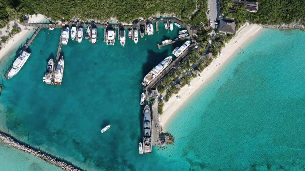
Highbourne Cay Marina (242) 427-1003 / info@highbournecaybahamas.com
This is a nice, well protected marina on Highbourne Cay, at the northern end of the Exumas. They have slips for small and large yachts, but space is somewhat limited, so don’t show up expecting to get a slip without reservations. They sell gas and diesel and have a nice little convenience/grocery store and a decent restaurant.
Norman’s Cay Marina (242) 822-0380 / demetri@normanscay.com
This marina was built in 2017-18 and opened in 2020. They offer gas/diesel, have a small convenience store, and a bar. Norman’s Cay is famous for having been a drug smuggling hub in the 70’s and 80’s before the DEA raided the island and shut down Carlos Leder’s trafficing operation. The airport was expanded several years ago to be able to handle private jets.
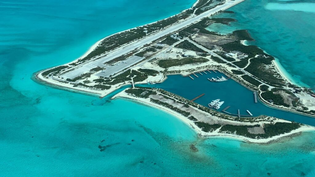
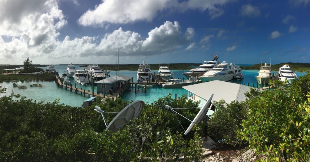
Compass Cay Marina (242) 422-7300 / info@compasscaymarina.org
Located just south of the Exumas Land & Sea Park on Compass Cay, this marina offers fuel, has a bar and restaurant, and is well protected from all directions. If you ever wanted to swim with Nurse Sharks, this is your spot. If you come in by dinghy just to swim with the sharks, bring $15 for the “landing fee.”
Staniel Cay Yacht Club & Marina (242) 355-2024 / marina@stanielcay.com
Staniel Cay Yacht Club Marina is more of a restaurant with some docks. It is exposed to the North and West and if a Westerly storm is predicted, they may ask you to leave the marina. They also have several mooring balls. All that said, they have a great restaurant/bar and access to good grocery stores (for the Exumas), a laundry, and liquor store. They sell fuel as well.
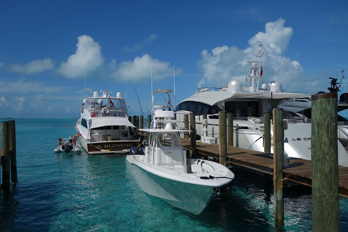
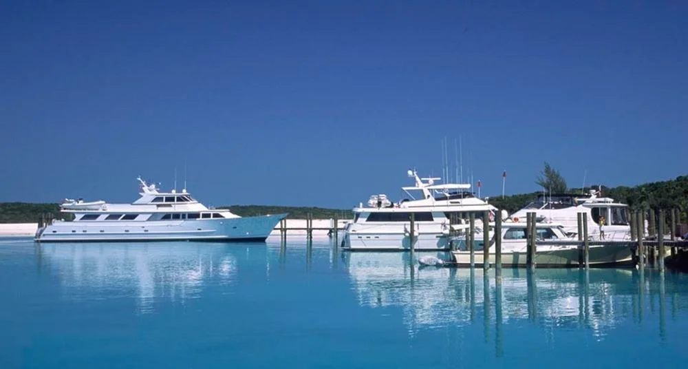
Cave Cay Marina (242) 357-0143 / secj@aol.com
Cave Cay Marina is about 16 miles south of Black Point and beyond what we’re covering in this article, but if you need a place to get out of weather and the North Exumas marinas are all booked, this is a great, safe place to stop. The only thing they offer beyond a slip, is fuel.
Anchorages
Where do I start! In the upper Exumas there are quite literally hundreds of anchorages that offer beautiful sand beaches, clear, clean water for swimming and snorkeling, and the most gorgeous sunsets you’ll see in the North Americas. For this “beginners” article, I’m going to focus on the most obvious “Don’t Miss” spots, but in future articles, I’ll spend more time in the obscure places that we love to hide out in so much.
Highbourne Cay
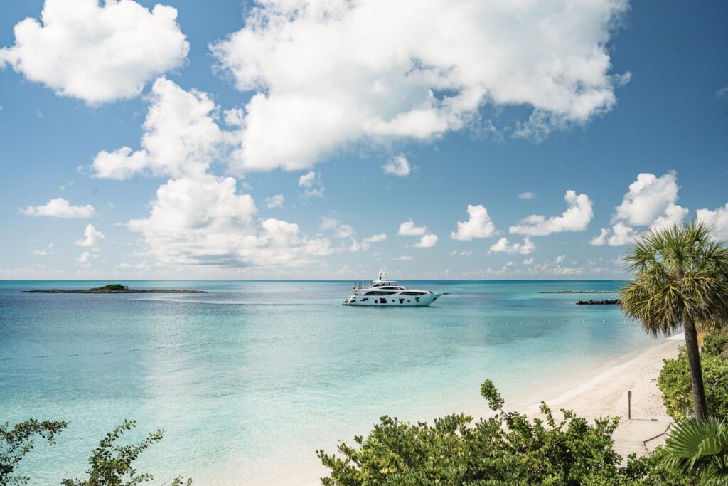
As you head SE from New Providence (Nassau), Highbourne Cay is the closest cay (pronounced KEY, not CAY) in the Exumas. We generally pass this Cay by as the anchorage and beach are not particularly interesting, but many people use this as a waypoint in to and out of the Exumas. There is a small marina here and you can get fuel if you need it.
The Exumas Land and Sea Park

You shouldn’t go to the Exumas without planning to spend some time in the group of Cays that make up the Exumas Land and Sea Park. The park was created by the Bahamas National Trust in 1958, encompasses 176 square miles of the Exumas, and was the first land and sea park ever created. Visitors help to support the park by paying mooring and anchoring fees. I often hear people gumble about having to pay to anchor in the Bahamas, but if you don’t want to pay the fees, don’t anchor within the park and don’t take a mooring ball. Those of us who appreciate the beauty and the importance of the park will happily pay the minimal fees and follow the logical rules (like No-Take within the park, for instance).
Shroud Cay
Shroud is the furthest point north in the Exumas Land and Sea Park and is Michelle’s favorite anchorage because of the shallow and winding
mangrove stream that slices the island in two and opens up on the Atlantic side of the island and one of the best beaches in the Exumas! Be sure to climb to the top of the island’s only hill to see the spot where DEA agents spied on Carlos Leder’s drug smuggling operation which was located on Norman’s Cay in the 70’s-80’s.
Warderick Wells Cay
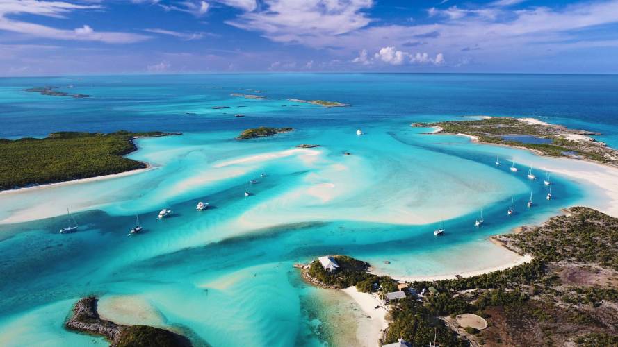
This is my favorite anchorage in the Exumas. The “Horse Shoe” mooring field (pictured here) is stunning. WWC is the headquarters for the Land & Sea Park and they monitor VHF channel 09. Call the day before you plan to arrive to reserve a mooring in the horse shoe, or if you want to get away from the “crowds,” reserve a mooring in Pirate’s Lair on the east side of the island.
Little Bell Cay and the Aquarium
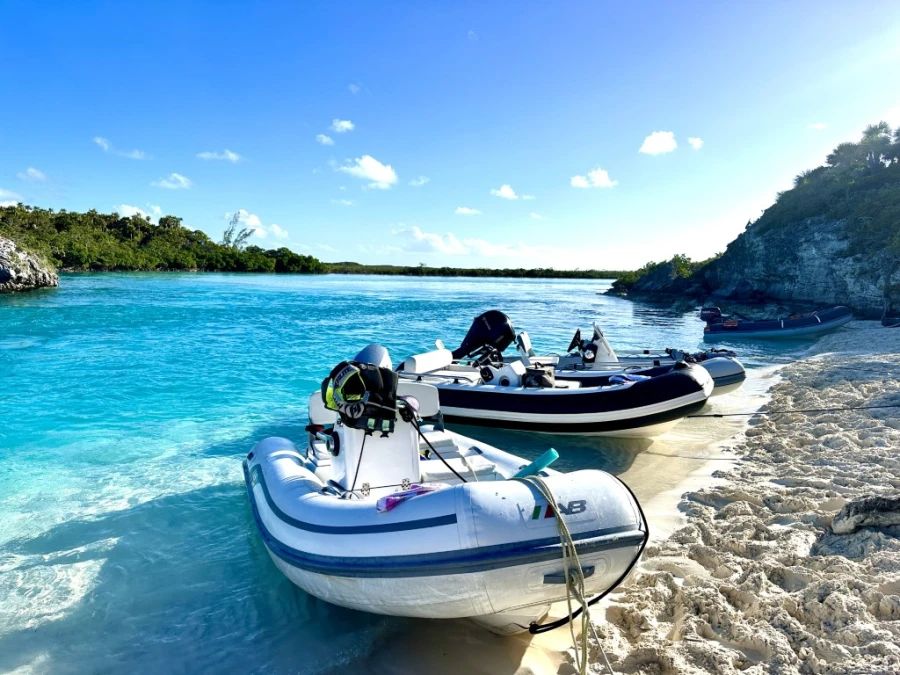
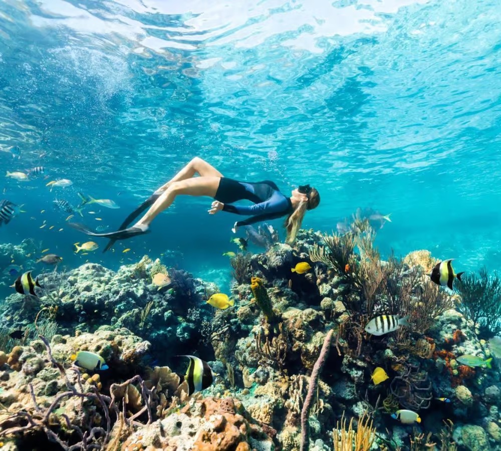
Skipping past some gorgeous anchorages and beaches in the Land & Sea Park, our next favorite spot is the Mooring balls available at Little Bell Cay. There is a lot of excellent snorkeling withing easy dinghy distance from here. Head north, leaving Bell Cay to your left and look for The dinghy moorings on O’Brien’s Cay to snorkel the Aquarium. This is a small snorkel spot, but the colorful fish are friendly and the coral is beautiful. Looking back towards Bell Cay, there is an airplane wreck to check out in 15-20 feet of water. Back a Little Bell, head south by dinghy for the Rocky Dundas where you can snorkel in to a cave. You can continue south another 1/4 mile to Compass Cay which is just outside the boundry of the park.
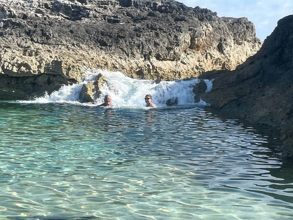
Compass Cay and Rachel’s Bubble Bath
Leave your boat at Little Bell another night and dinghy over to the north west end of Compass Cay and follow the mostly dry stream east to Rachel’s Bubble Bath (about 1/4 mile easy walk). Lounge in the relaxing salt water bath and enjoy the stream of bubbles created as the Atlantic waves crash through the ironstone shore.
When you’re done relaxing, take your dinghy in to Compass Cay Marina to get up and personal with the dozens of harmless nurse sharks around the docks. Make sure you take some cash ($15-20) to pay the “landing fee” the marina charges. If you’re there around lunch time, they make a really mean burger!
Getting Groceries/Supplies
While you can get groceries and supplies at Highbourne Cay, Norman’s Cay, and Staniel Cay, keep in mind that the stores are very small and products are limited. Fresh vegetables are especially difficult to get at times and the quality is often poor. Prices are also much higher than in the states. You can buy beer, wine, and liquor, but for some reason the beer is VERY expensive in the Bahamas, so bring your favorite beer with you from the states. On a positive note, there are several really good Bahamian rums available at cheap prices.
There are three grocery stores on Staniel Cay and to fully resupply you may end up having to go to all three. There is the Blue Store, the Yellow Store, and the Pink Store. The Blue Store has some hardware and marine items for sale as well. The Staniel Cay Yacht Club has a dinghy beach which they allow you to use for free. Once you get ashore, just ask a local where the stores are and they will give you directions.
Fuel is available at the marinas listed above, but very expensive. A word of caution: Don’t wait until you’re down to your last gallons to start shopping for fuel. It is not unusual for marinas to run out of gas and/or diesel in the islands and you could get stuck waiting for the supply ship to arrive, which could be 7-14 days!
Communications
Batelco is the local phone company that owns all the cellular antennas on the island. Before Starlink, we used to buy a local phone and purchase a pay-in-advance SIM card so that we could make calls and do some basic internet work if needed. You may still want to have cellular service when you go ashore, so while Starlink may meet all of your on vessel needs, you will still need to think about service off the boat. Some US companies allow you to make limited calls and texts. We use T-Mobile and have no problems calling or texting, but we can’t use our US phones for data, thus the local phone/data plan for when we are off the boat is still a useful option.
Wow! There is a lot of information in this article, but I feel like I just barely scratched the surface. I didn’t talk about the beautiful sunsets we’ve watched on the beach at Hall’s Pond Cay, or the secret snorkel spot just north of Warderick Wells and I didn’t have time to talk about the hidden anchorage at the north end of Norman’s Cay that we’ve spent weeks in, escaping the strong southerly winds that sometimes set in during the winter. I’ll save all of these and dozens more for future. posts!
Cheers All! See you in the Bahamas!!!